Our Services
-
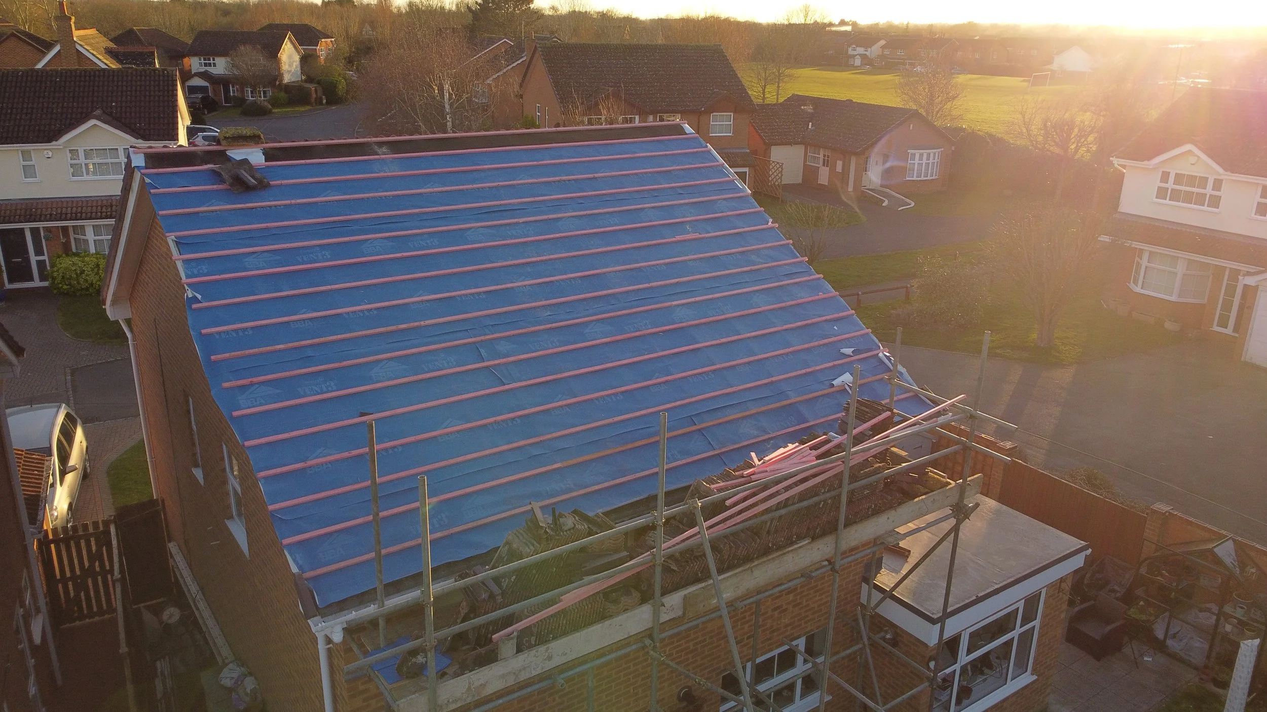
![Aerial view of a house under roofing renovation, with scaffolding around the roof, covered with blue underlayment, and sunlight shining from the right side.]()
Assisting Your Surveying
Our Fast, safe, and cost-effective drone inspection service offers a smarter way to assess properties. I provide high-resolution imagery and video of roofs, facades, chimneys, and other hard-to-reach areas without the need for scaffolding or ladders. Perfect for pre-purchase evaluations, maintenance planning, insurance documentation, or renovation prep, this service delivers actionable insights at minimal expenditure, all whilst alleviating disruption and risk.
Ideal for:
- Property developers monitoring build progress
- Surveyors and architects needing visual data
- Homeowners assessing damage or wear
- Insurance agents verifying claims
-
![Aerial view of a brick house with a red tiled roof and surrounding garden, outdoor tents, and parked cars in the driveway.]()
Boost Your Listing
Bring properties to life with breath-taking aerial visuals that captivate and convert. Focusing on the cinematic, I’ll develop a 4k-quality showcase video of the property, delivering sweeping bird’s-eye views, dynamic angles, and flyovers that showcase every asset from architectural elegance to landscape design. Whether it’s a luxury home, a commercial listing, or a new development, my aerial content transforms listings into immersive experiences that’ll make people watch over and over.
Ideal for:
- Lettings or Estate agents looking to elevate listings
- Homeowners preparing for sale or rental
- Developers promoting off-plan or completed projects
- Designers showcasing outdoor transformations
-
![]()
Promoting Your Business
From sweeping flyovers of commercial properties to dynamic event coverage and branded promotional videos, I help businesses tell their story in a way that’s bold, beautiful, and unforgettable. Perfect for websites, social media, investor decks, and advertising campaigns.
Ideal for:
- Small businesses wanting to stand out online
- Estate agents showcasing their brand and team
- Hospitality venues highlighting location and ambiance
-
![The image is divided diagonally, with one side showing a lush forest area with a tree and purple flowers, and the other side showing an urban setting with a shopping mall, parking lot, and flooded area.]()
Environmental Surveys
Capture the landscape with precision, speed, and minimal disruption. My drone-based environmental surveys offer a smarter, greener way to assess land, habitats, and ecological features. From monitoring biodiversity to mapping terrain and tracking changes over time, I deliver high-resolution aerial data that supports informed decision-making and responsible development.
Benefits over traditional surveys:
- No need for boots-on-ground access across fragile or restricted terrain
- Faster data collection over large or complex areas
- Reduced carbon footprint compared to vehicle-based or manual methods
- Ideal for repeat surveys to monitor seasonal or long-term changes
Ideal for:
- Habitat mapping and biodiversity monitoring
- Flood risk and drainage assessments
- Tree canopy and vegetation analysis
- Conservation planning and land stewardship
- Visual evidence for environmental impact reports and planning submissions